
Quemado Cirque, Pecos Wilderness, New Mexico
Hiking the Truchas Peaks around the Quemado Basin of the Pecos Wilderness in Northern New Mexico.
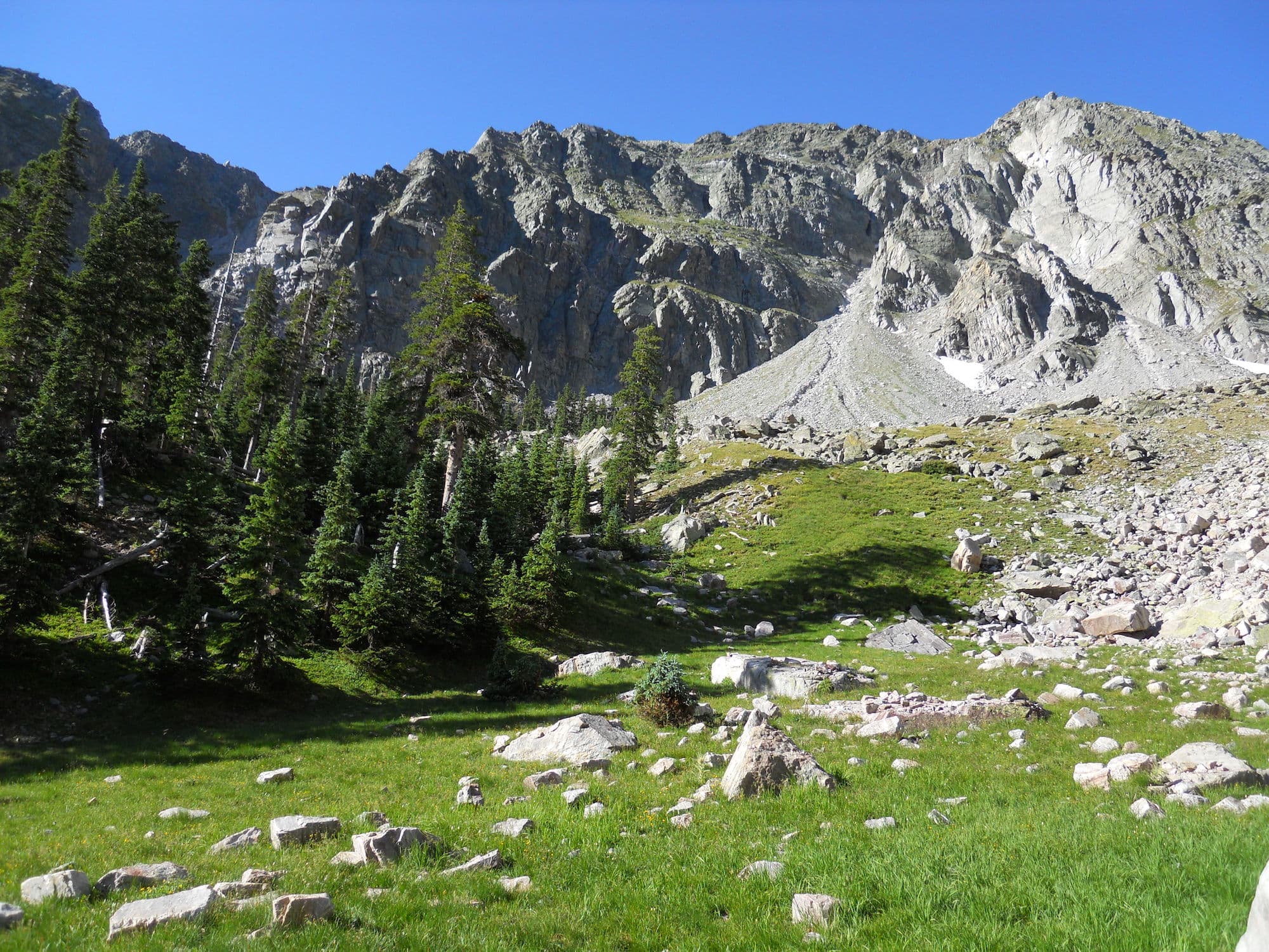
Over the course of several summers I have had the opportunity to explore this gem of a basin in the Pecos Wilderness. I hope you find this useful, and please don't hesitate to reach out if you have any questions.

Ascending the buttress moving north along section 2, descending from Middle Truchas Peak, heading towards the pass between Quemado and Truchas Lakes (location D). Picture taken by Victoria, 2016.
Quemado Cirque Routes

Ascents
Ascent A
Grade III+ to IV-
Scramble up to the ridge from outside the cirque and catch the true start of the full cirque-ridge route. Ascends over scree to cobble/boulder fields then across steep bedrock with some grass cover. Elevation 11,400' to about 12,400'
Ascent B
Grade IV-
Hike into the cirque via low trail and ascend to ridge on west side of cirque, climbing up a scree collier flanked by steep grass and bedrock outcrops. Long and steep but sure footing.
Ascent C
Grade IV+
Scree filled collier that gets steep towards the top. Ascends to the middle of the cirque route between West Truchas and Middle Truchas Peaks. Spicy!
Ascent D
Grade III
The trail to Truchas Lakes. Well worn and steep but has some switch backs.
Ascent E
Grade III-
In the trees most of the way, steep and short. Last time I climbed this with a 40lb pack and it was slow going.
Descent F
Steep escape from a summer monsoon - Hail and lightning!
Cirque Ridge Route Sections
1 - 0.3 miles
Slightly ascending route from about 12,400’ to auto 12,780’ near the top-out of Ascent B
2 - 1.15 miles (0.6 to spur)
Ascending from 12,780’ to West Truchas Peak (13,060’) and continue on to Middle Truchas Peak (13,080’) where we can decide if we want to do the spur to the Truchas Peak, also referred to as South Truchas Peak (13,104’). Continue to the saddle at the summit of ascent route D, with an elevation of about 12,400’. Some spicy ridge trail between Middle Truchas and the saddle. Beautiful views to both side.
3 - 1.0 miles (0.5 miles each way)
Relatively simple out-and-back spur to grab Truchas Peak. Worth it if we have time.
4 - 0.75 miles
Ascends to North Truchas Peak (13,100’) and continues to the saddle between Quemado and Santa Barbara Basins. Last time I climbed this route was in June-ish of 2016 and we where shut down by a hail storm and had to descend the collier via route E. Descent was simple and safe, the hail storm on the ridge was an adventure. Santa Barbara is notorious for collecting weather patterns.
5 - 0.15 miles
Unfinished Business. I have yet to complete this section on any trip. I looks good to go and I am anxiously awaiting the opportunity to complete this route. If we are up to the task and have the time and weather I would be really stoked to send this section.
6 - 0.3 miles
Simple descent from 12,880’ to the saddle (12,220’) between Trampas Basin to the north and Quemado basin to the south. Spectacular views here as well. Trampas is a very beautiful place.
7 - 0.45 miles
Unfinished Business. Ascends from 12,220' to 12,700’ for the last peak on this cirque route. Would love to get this too. Looks incredible.
8 - 1.3 miles
Final descent through an auxiliary feeder basin into the Quemado Basin. Regains the trail a ways below the waterfall and maybe 2 miles from the trail head.
